Deglaciation of the Western Margin of the Greenland Ice Sheet
The Greenland Ice Sheet (GIS) is shrinking today in response to the warming atmosphere and ocean. The GIS holds enough freshwater to raise sea level by 7.4 meters (24 feet) if it melted completely. Thus, understanding how it responds to warming is important. In this project we are investigating GIS vulnerability by studying how the GIS responded to climate warming in the past. At the end of the last ice age, about 20,000 years ago, the western GIS margin extended farther into Baffin Bay, hundreds of kilometers west of its present position. By 10,000 years ago, the ice margin had largely retreated to within the current coastline. It is unclear if a warming atmosphere, a warming ocean, or some combination of the two is responsible for the retreat.
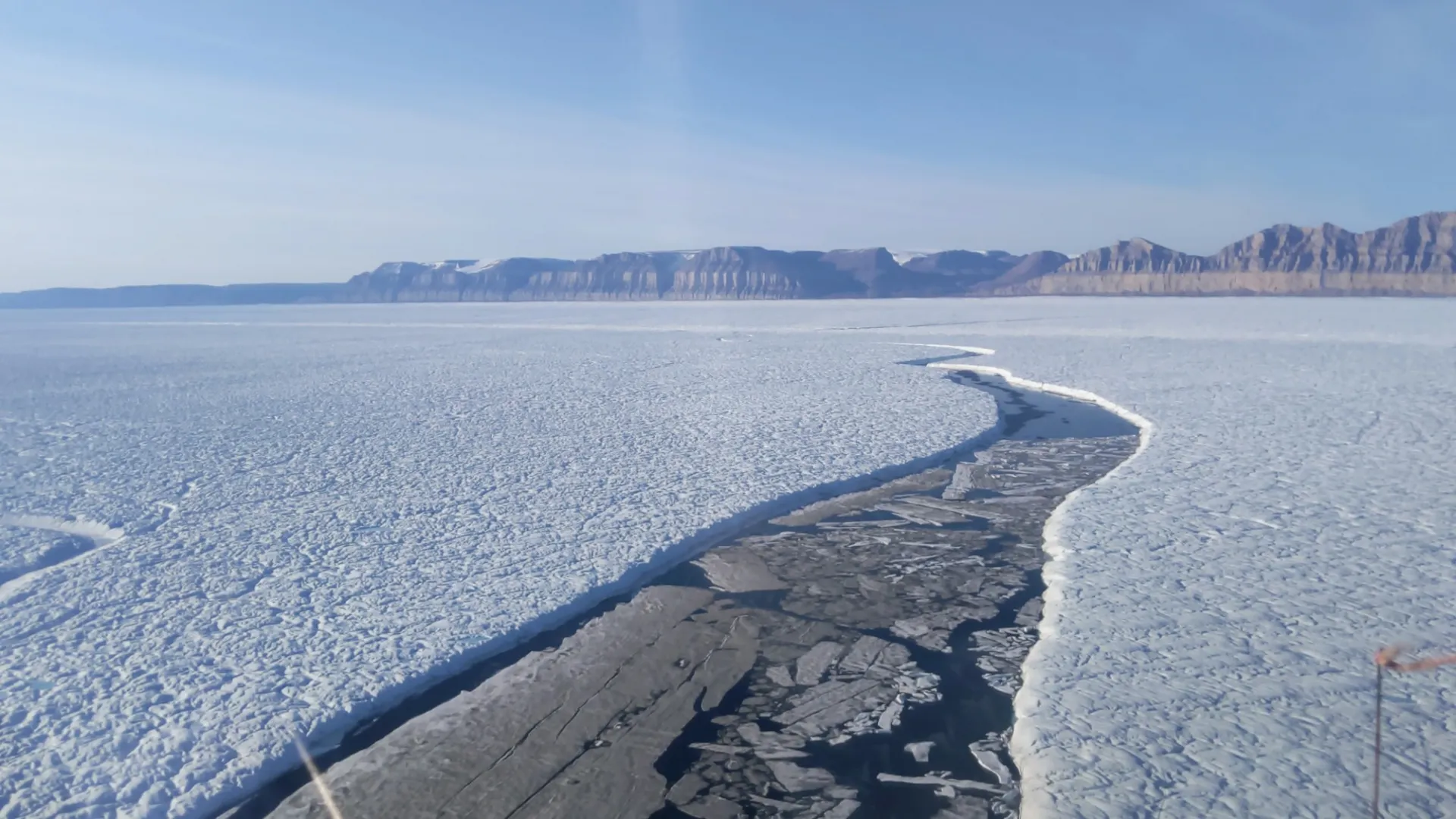
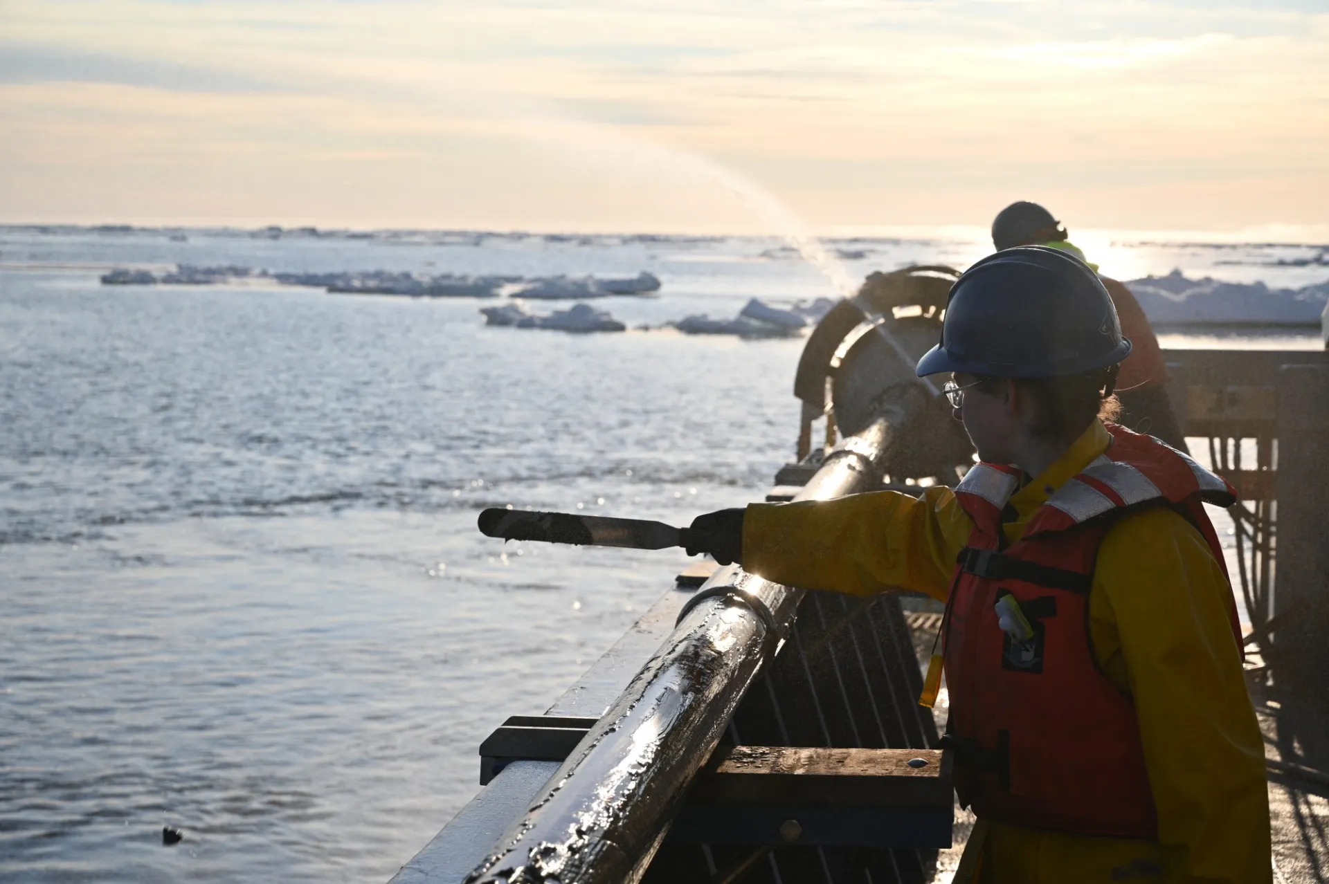
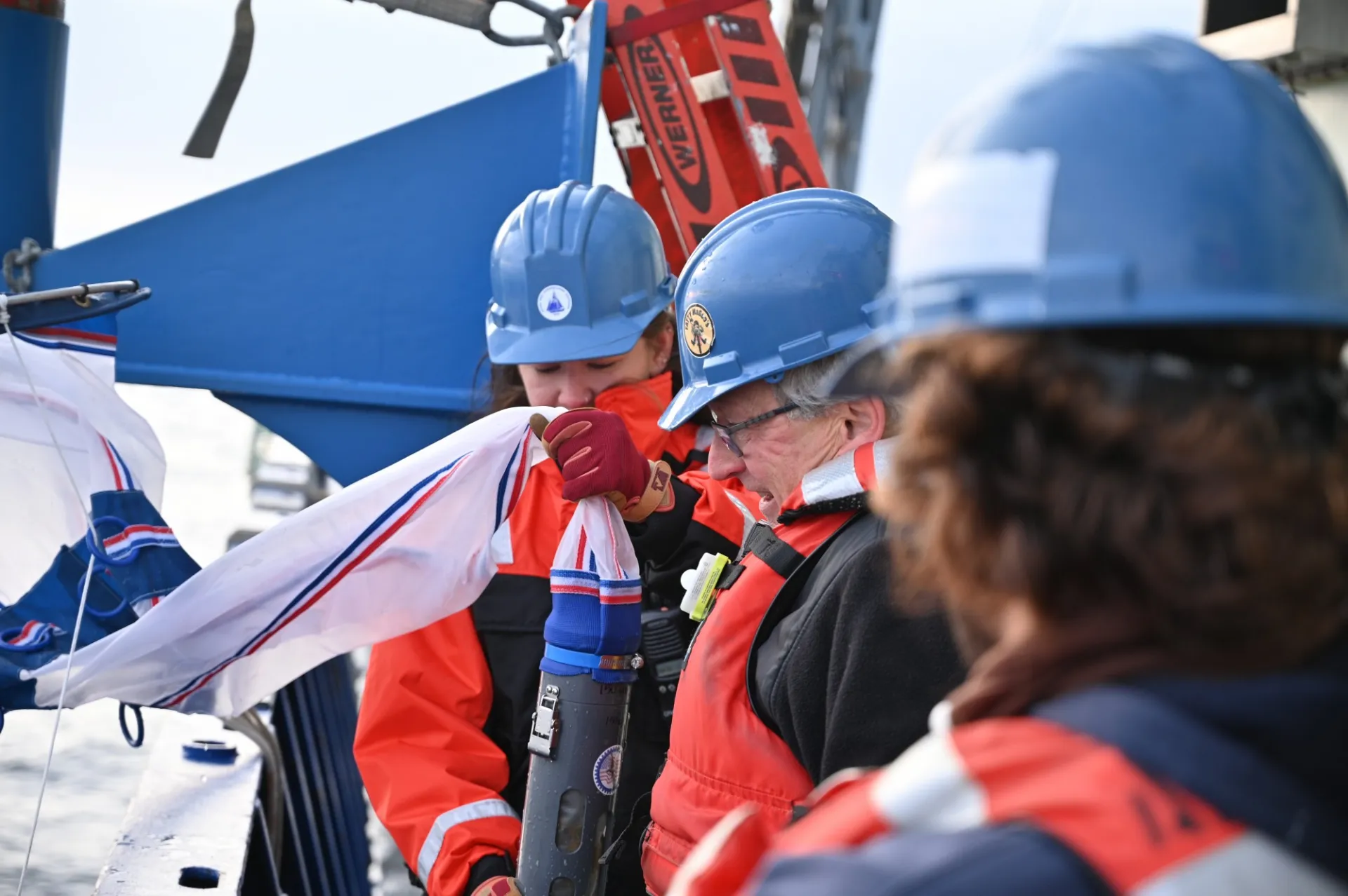
In the summer of 2023, we set off to study the western margin of the Greenland Ice Sheet before, during, and after the Last Glacial Maximum by mapping the seafloor and collecting sediment cores onboard the RV Neil Armstrong during the AR7601/AR2307 "Baffin Bay Deglacial Experiment." The team included scientists from LDEO, University of Florida, University of North Carolina-Wilmington, Oregon State University, University of Colorado-Boulder, and the Greenland Climate Research Center. These sediment cores will establish regional variations in the timing, magnitude, and rate of GIS retreat during the deglaciation. Biological, magnetic, geochemical, and physical properties from the sediment records will be used to test the primary hypothesis; that increasing ocean temperature at the base of marine terminating glaciers is a major driver of ice-sheet instability. Our goal is that we will establish: 1) the timing and extent of warm Atlantic water incursion along the west Greenland margin; 2) the phasing of ice margin retreat and ocean change; and 3) the influence of regional geology, geomorphology, and ice dynamics on ice-margin retreat.
Image Carousel with 14 slides
A carousel is a rotating set of images. Use the previous and next buttons to change the displayed slide
-
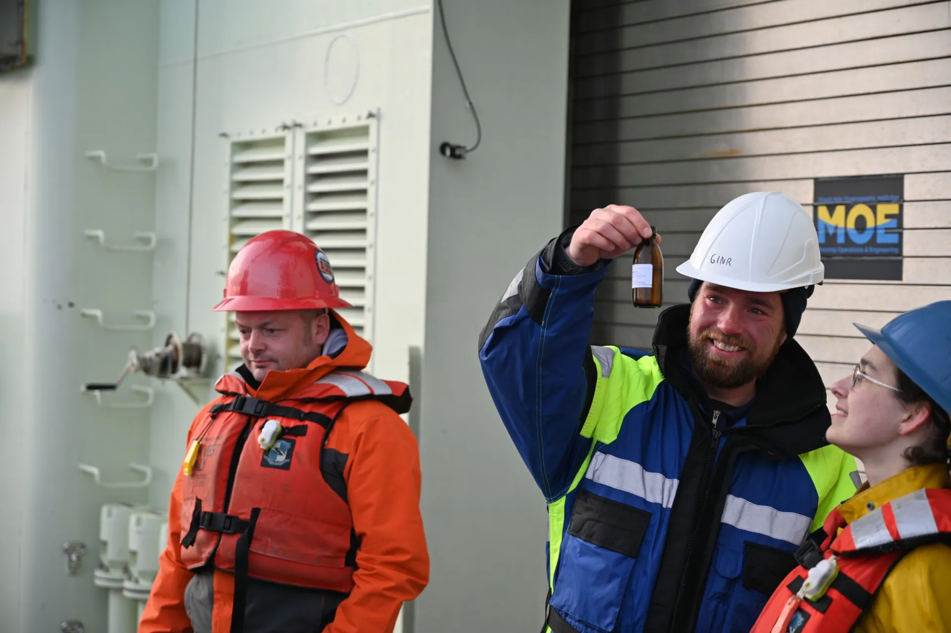
Slide 1: Tobias is excited to find some plankton near the sea ice edge.
-
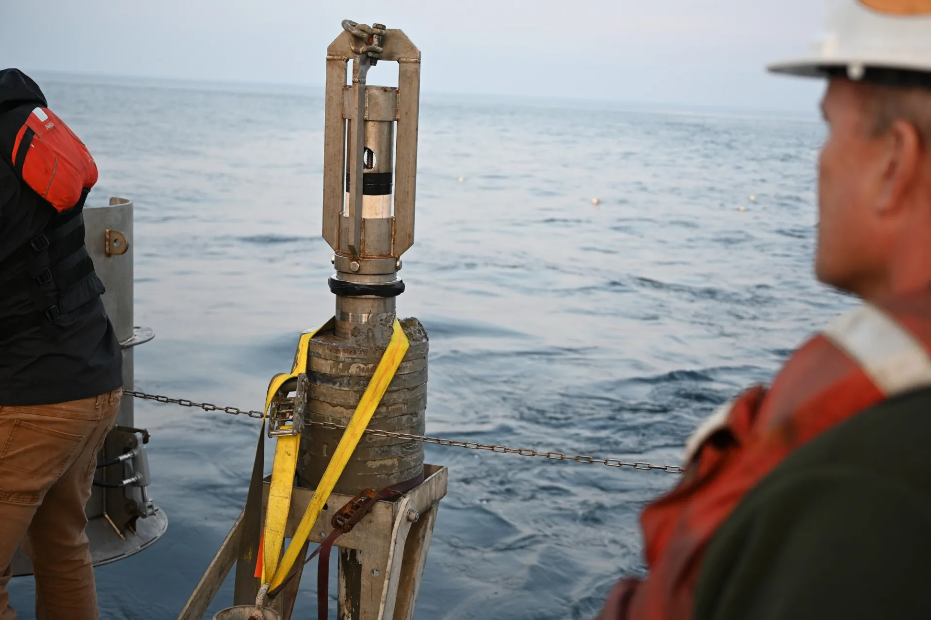
Slide 2: Soft mud! This trigger core was buried beneath the seafloor.
-
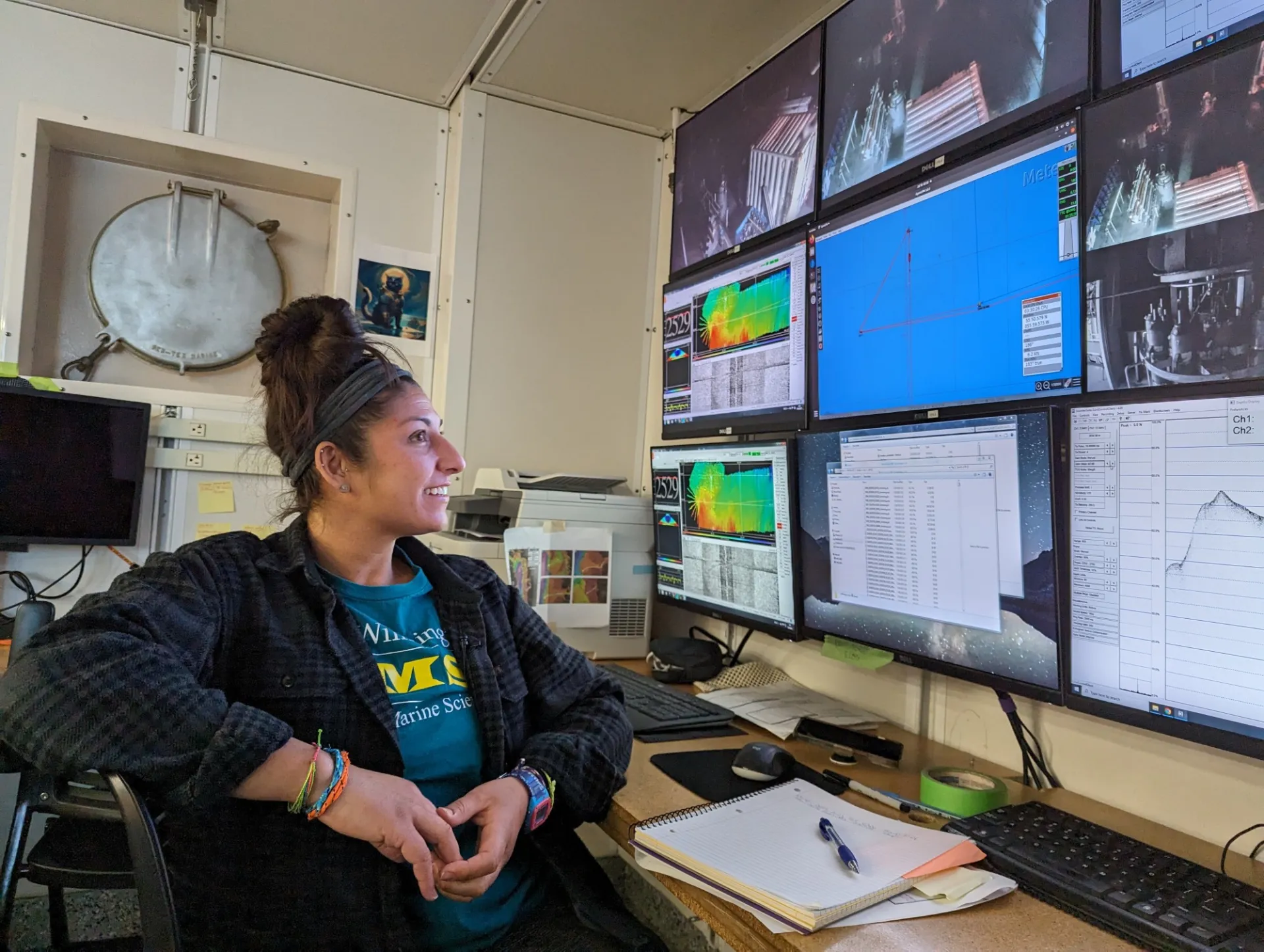
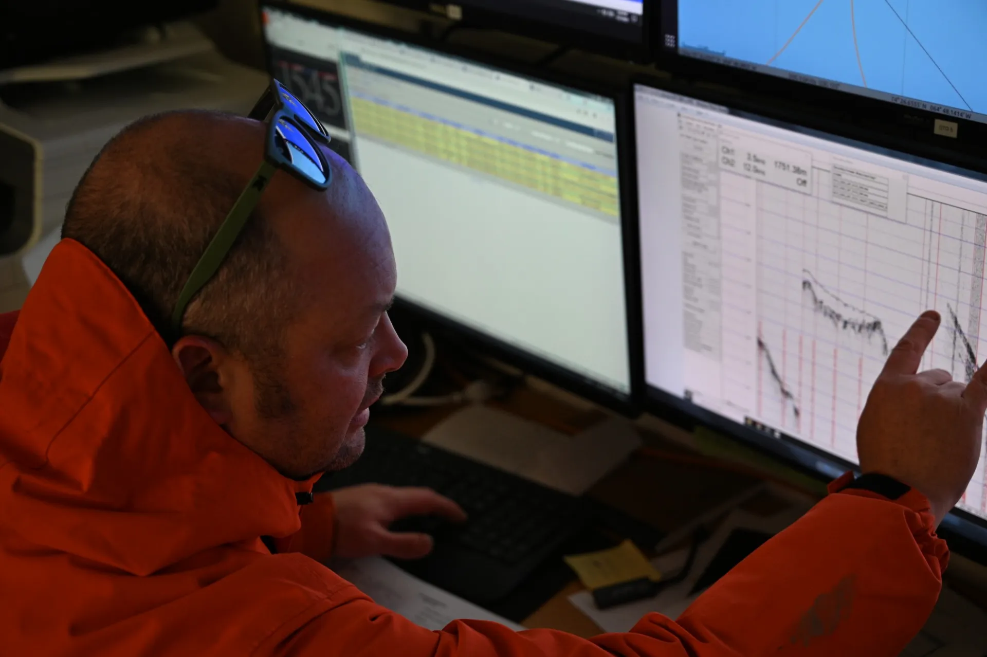
Slide 3: Co-Chief Shannon Klotsko running the "command center."
-
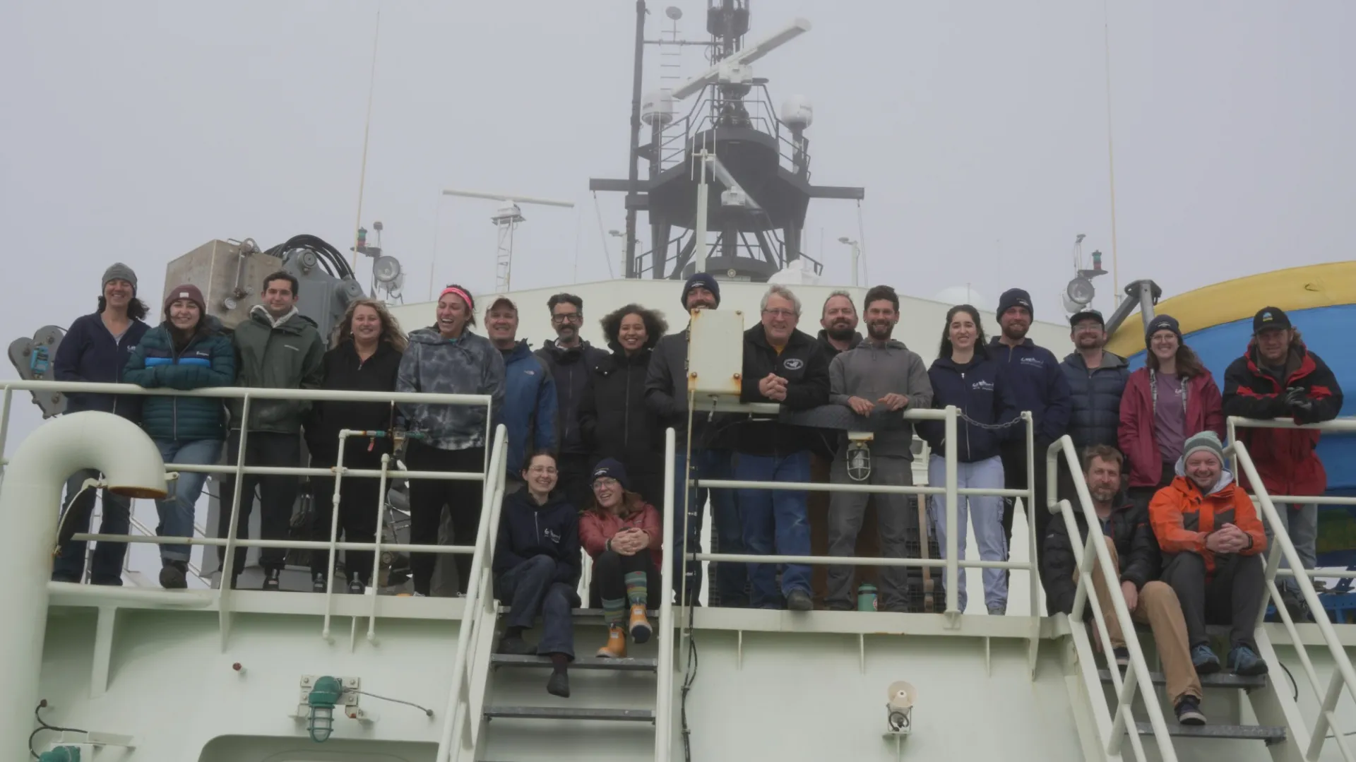
Slide 4: The "BADEX" Science Team.
-
Slide 5: Chief Scientist Rob Hatfield picking a core site.
-
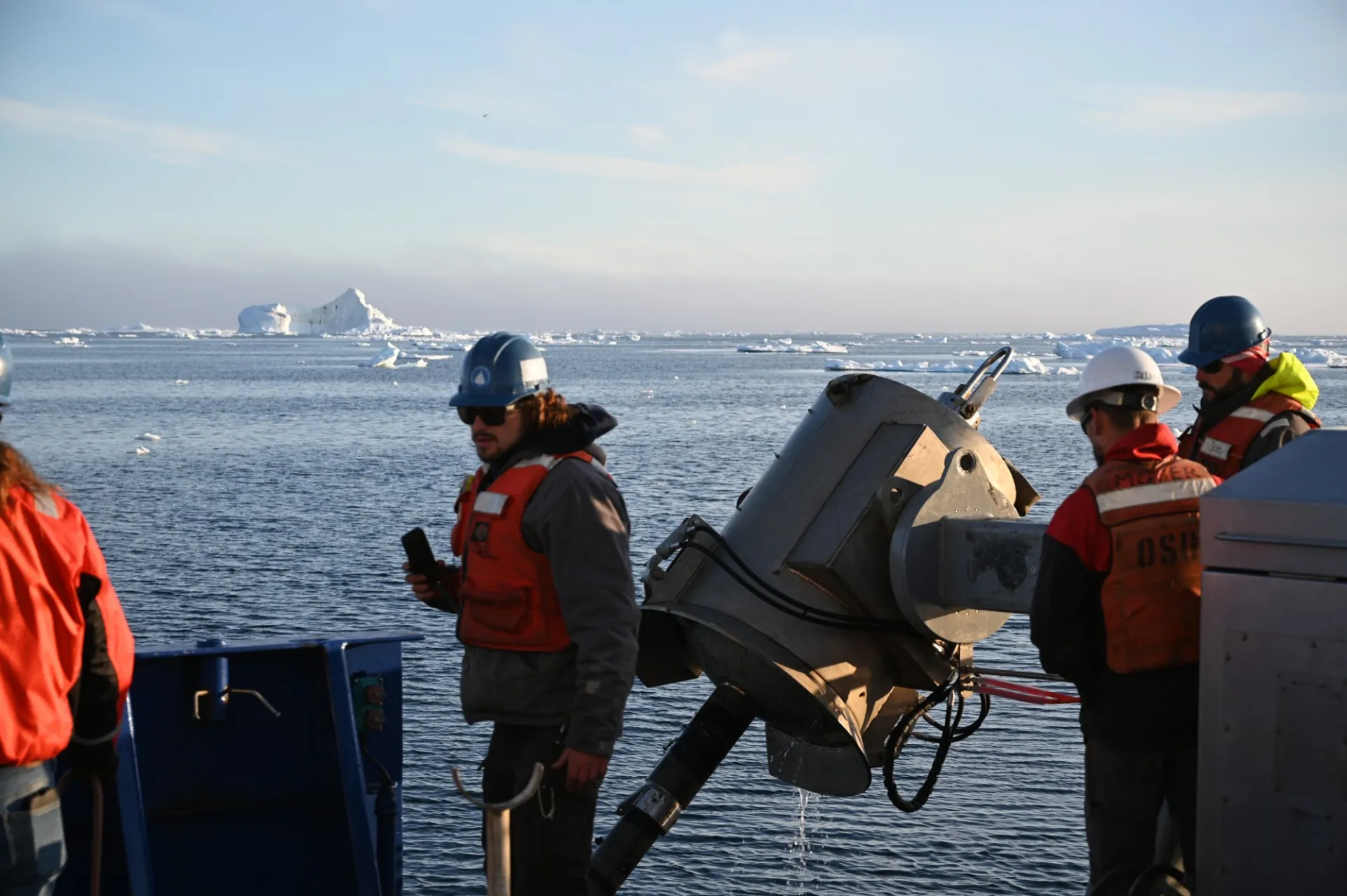
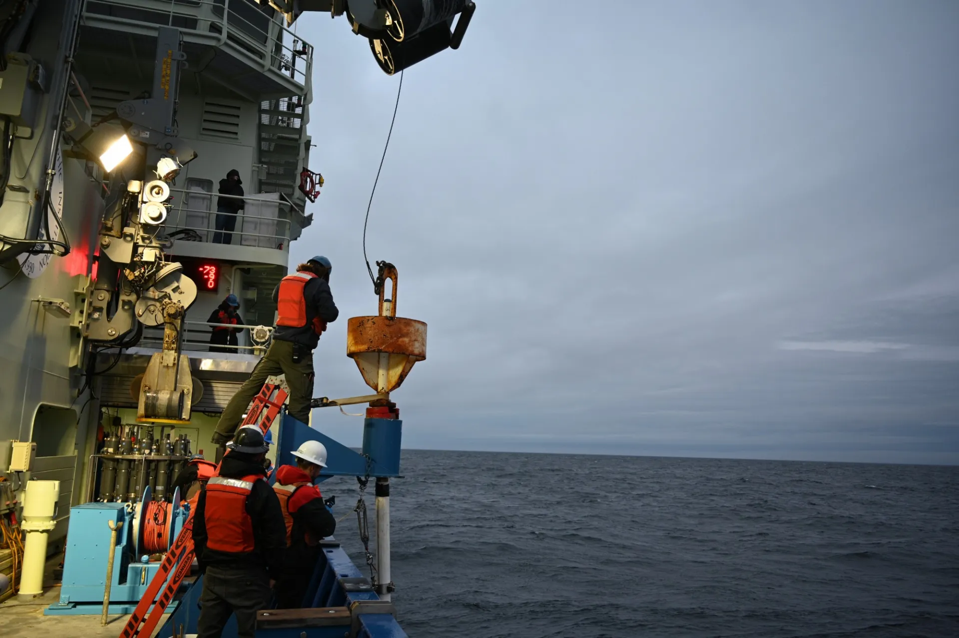
Slide 6: Landing a piston core near the sea ice edge.
-
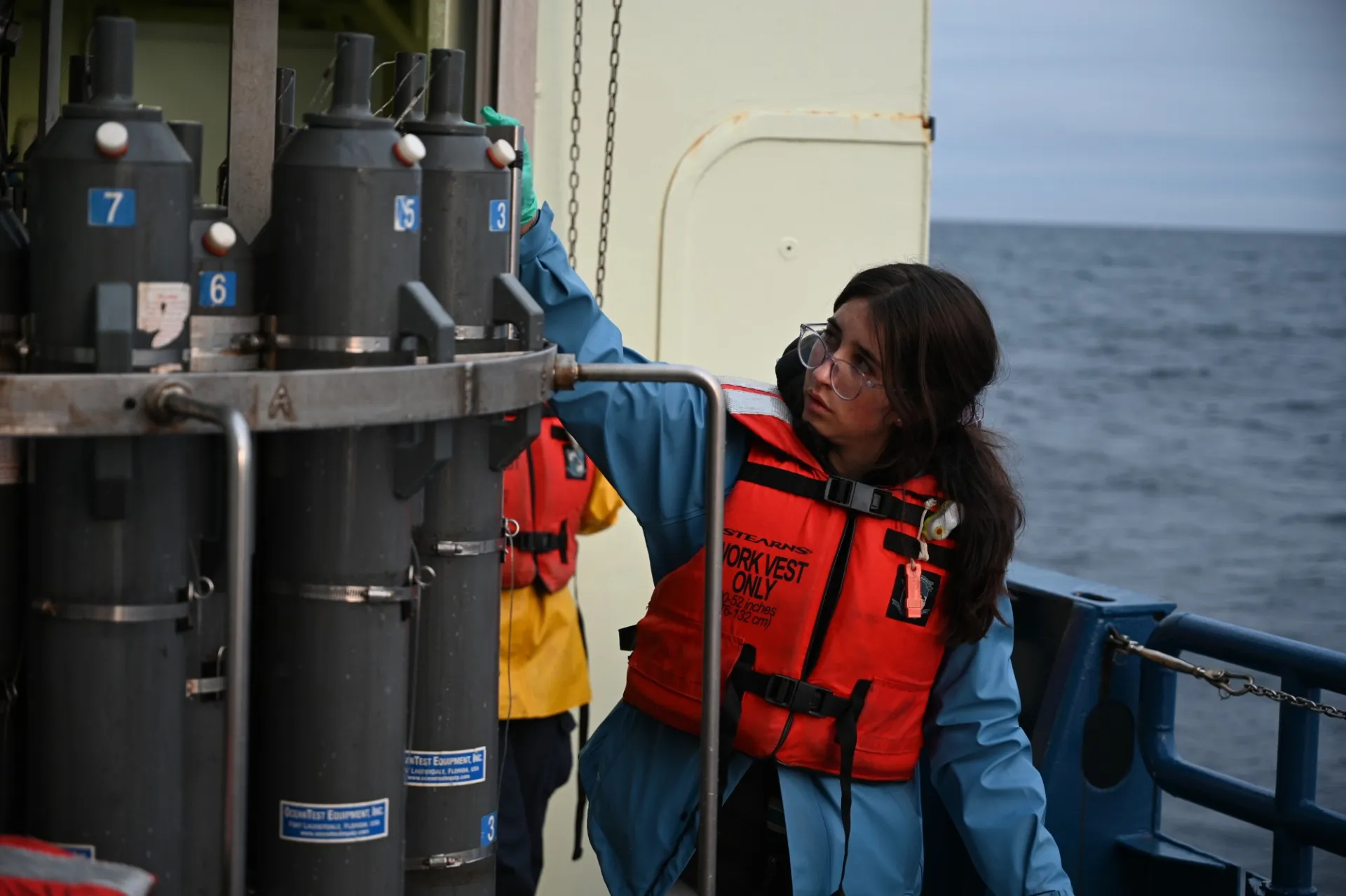
Slide 7: Paloma sampling the CTD to calibrate our proxy data.
-
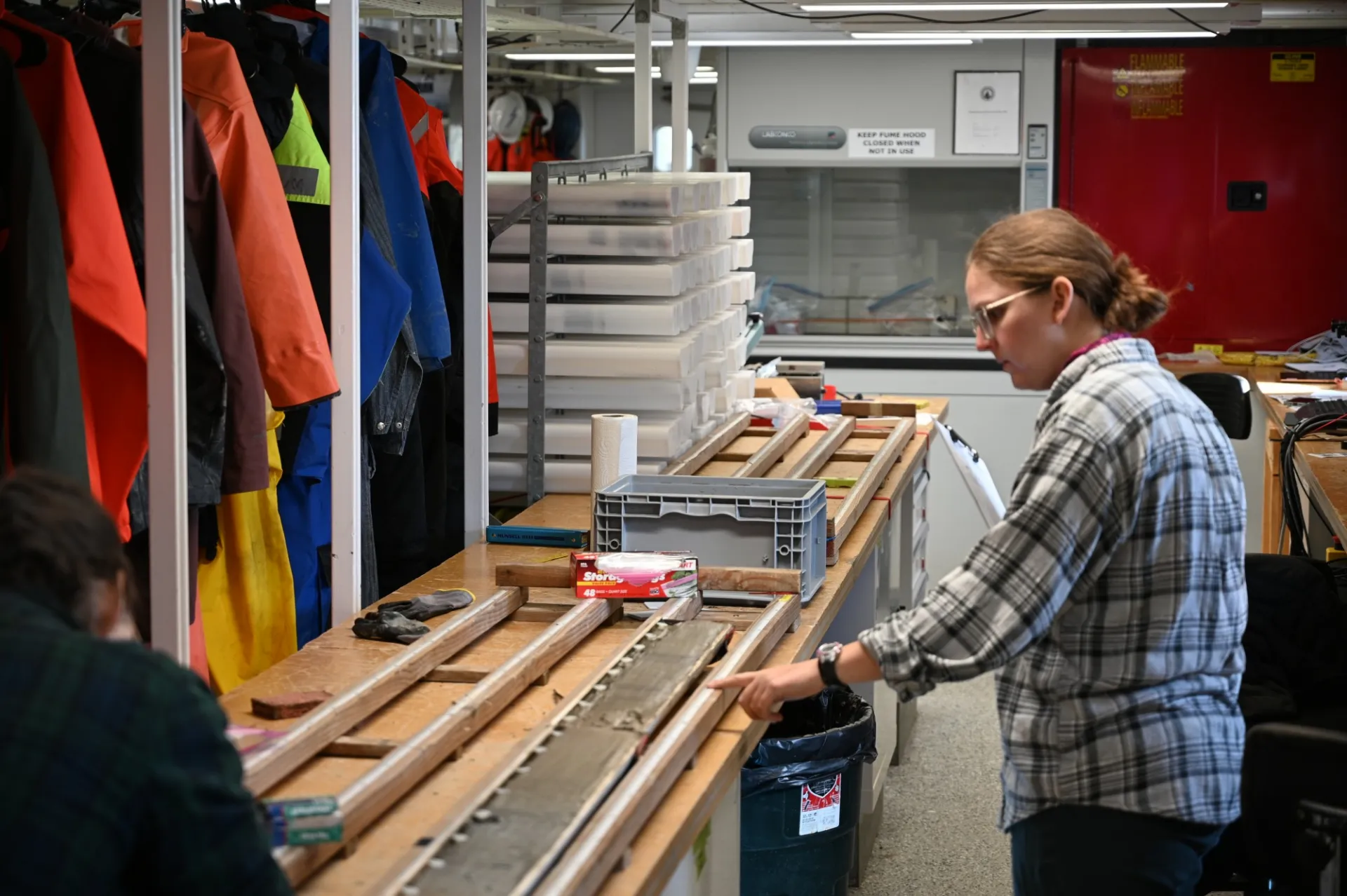
Slide 8: Lindsey describing core.
-
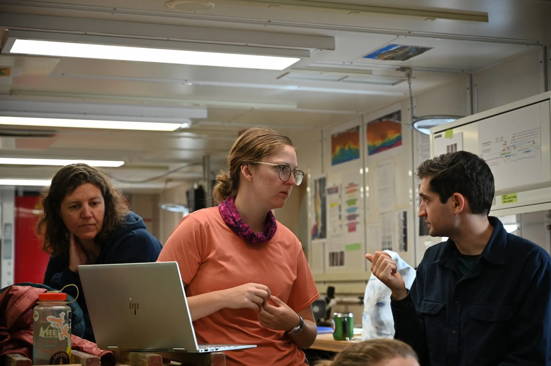
Slide 9: Lots to talk about as we collect data.
-
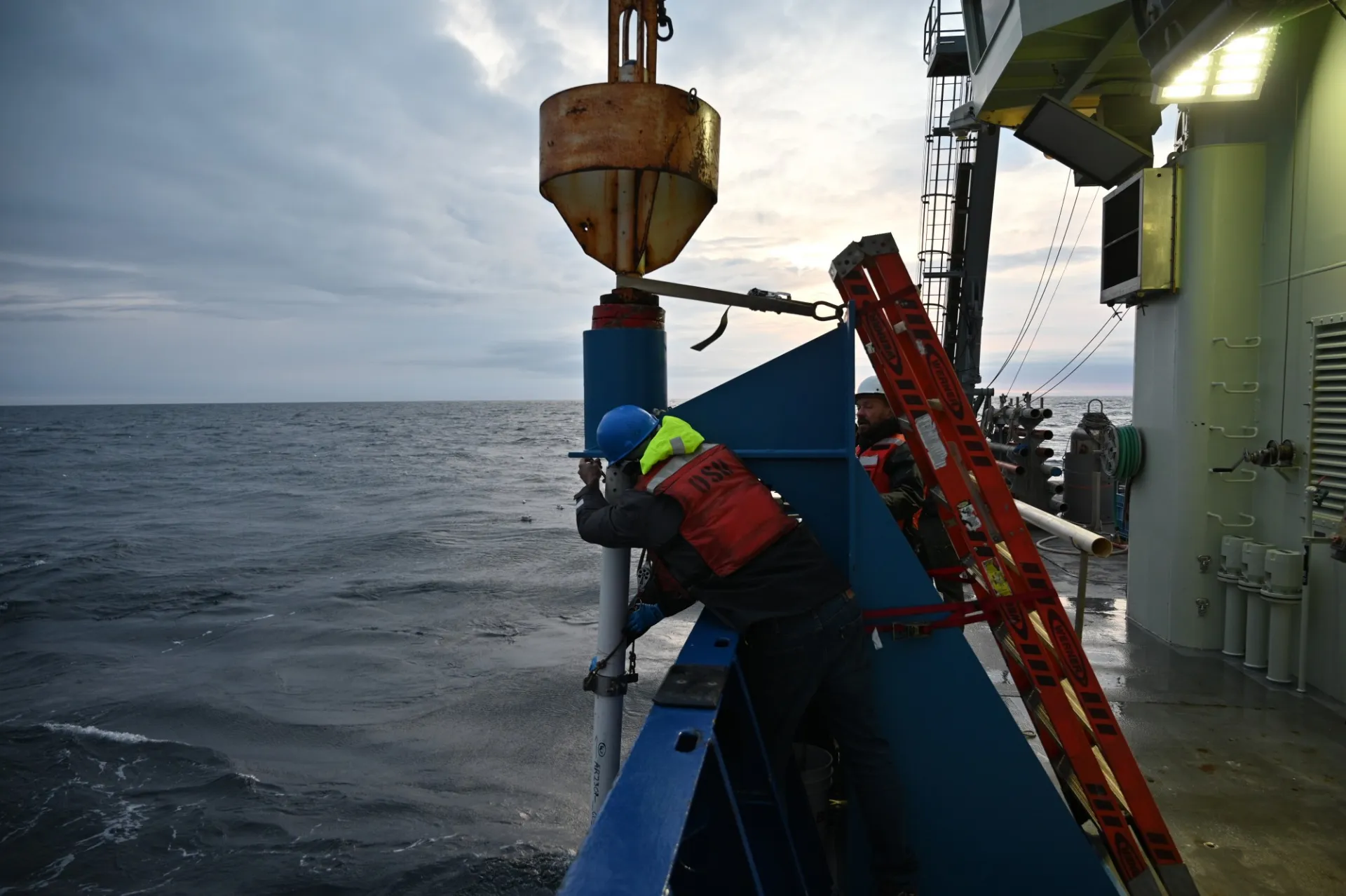
Slide 10: The sewer pipe gravity core.
-
Slide 11: Landing a gravity core
-
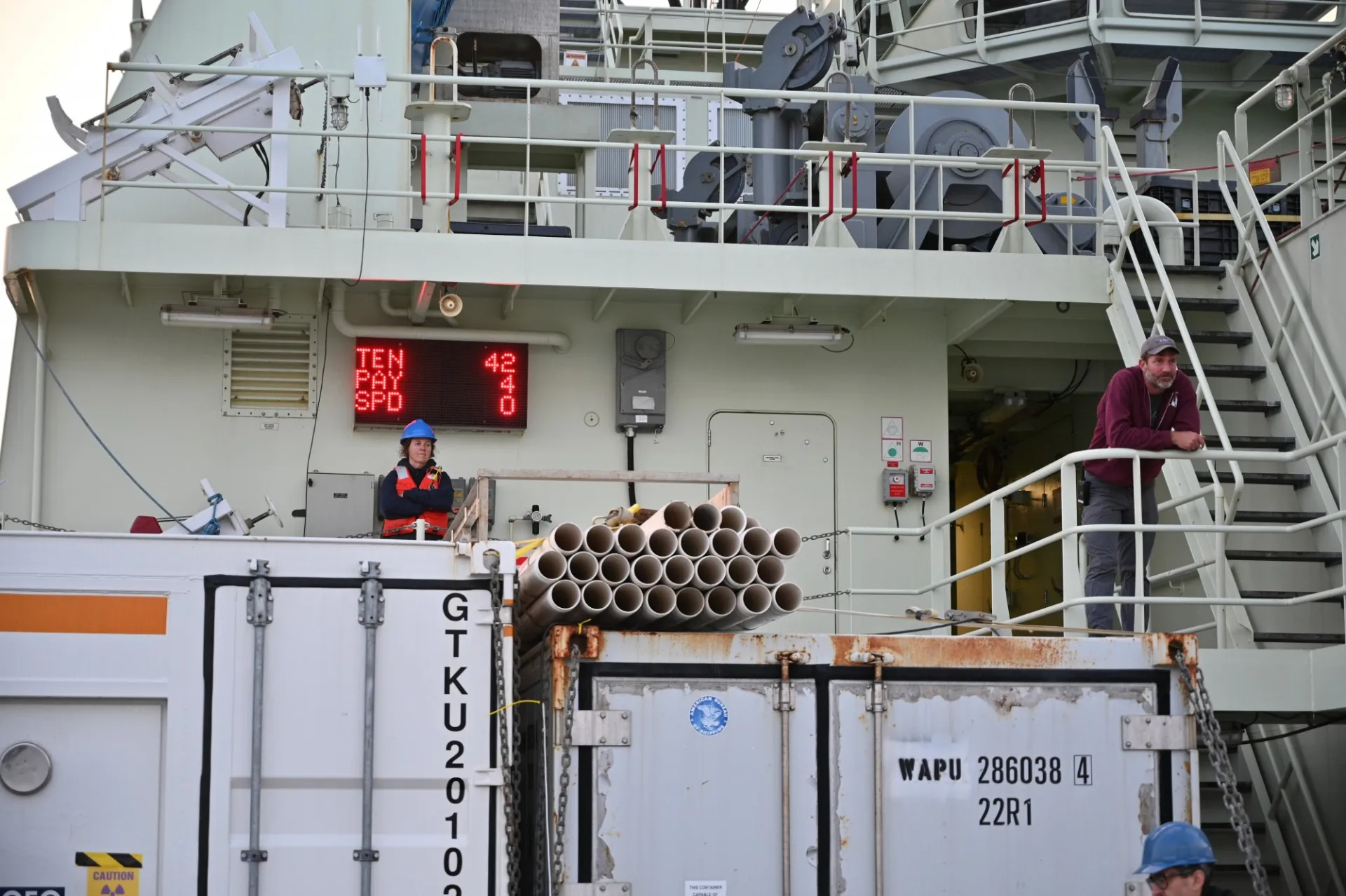
Slide 12: Cara the Curator and Captain Kent overseeing the operations
-
Slide 13: Alice cleans the outside of a piston core
-
Slide 14: Alan checks his zooplankton net